
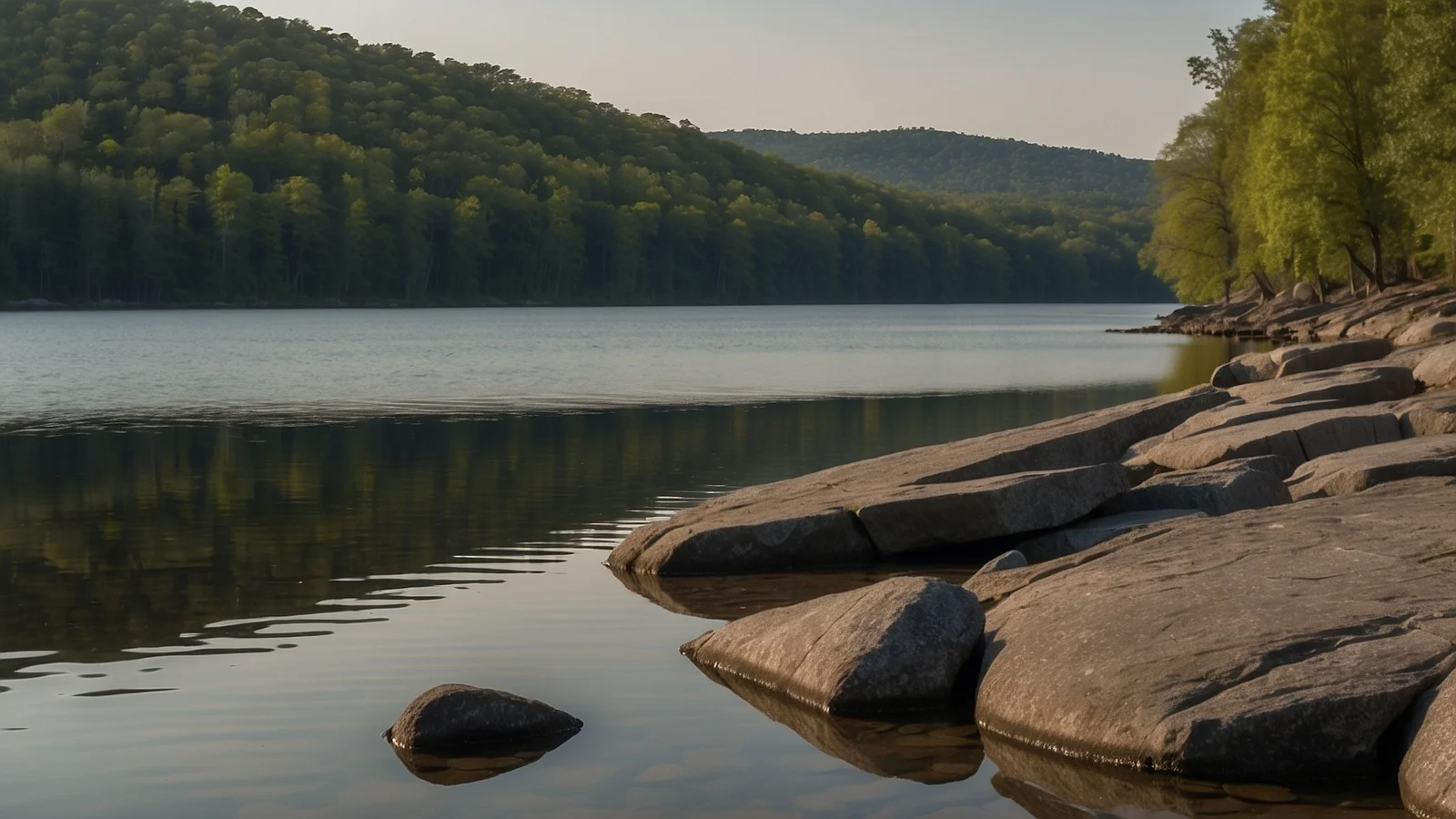
Lake Wedowee is the local name for R.L. Harris Reservoir, on the Tallapoosa River in east Alabama. It sits beside the town of Wedowee, seat of Randolph County. Alabama Power finished the R.L. Harris Dam on 20 April 1983 and the lake filled behind it. If you came here looking for the public swimming access, it is Flat Rock Park on the west shore, and the details are below.
Where it is and how you get there
The lake lies in the northeast corner of the Tallapoosa basin, roughly halfway between Anniston and the Georgia line.
- State Route 48 crosses the lake and meets US 431 in the town of Wedowee.
- From that junction, US 431 runs 34 miles northwest to Oxford and 13 miles southeast to Roanoke.
- The Tallapoosa and the Little Tallapoosa join a short way north of the Highway 48 bridge, about 8.5 river miles above the dam.
- Flat Rock Park sits at 7115 CR 870, Wedowee, AL 36278.
Size and depth
Two official sources publish different figures for the same lake, so here are both.
- Alabama Power, which operates the dam: 9,780 acres, 367 miles of shoreline, 29 miles long, 121 feet deep at the dam, full pool at 793 feet above sea level.
- Outdoor Alabama, the state wildlife agency reservoir profile: 10,660 acres, about 271 miles of shoreline, 24 miles long.
The gap comes from how each body measures a shoreline that folds into hundreds of creek arms, and from which pool level it uses. Fishing databases push the deep point further, to 135 or 137 feet. Take 121 feet at the dam as the conservative number and expect the main body to sit around 40 feet.
Where you get in the water
Flat Rock Park is the public swimming access. Alabama Power opened it in 1995 as one of its day-use parks, on 25 acres of smooth granite that was quarried for building stone before that. The rock juts straight into the lake, and there is about 4,000 feet of shoreline access behind it.
- Marked swimming area with a sand strip that lets you wade in
- Designated fishing area
- Picnic ground and a short nature path
- Open May to September, 9 am to 8 pm
- No admission fee, day use only, no camping
The granite at Flat Rock Park is a flat outcrop that slopes into the water. Alabama Power describes it as a swimming and picnic site, not a jumping site.
Away from the park, the lake carries around a dozen public boat ramps run by Alabama Power and local authorities, including Crescent Creek, Foster Bridge, Fox Creek and the Highway 48 bridge. Most are concrete launches with parking and nothing else.
The lake is not the same size all year
Lake Wedowee is a storage reservoir, so its level is a schedule, not a constant.
- Summer pool: 793 feet. Alabama Power aims to have the lake full around 1 April and holds it through the season.
- Drawdown starts 1 October. The level drops 8 feet over several weeks.
- Winter pool: 785 feet by 1 December, with the drawdown finished by 30 November.
That 8 feet changes everything at the shoreline. Rocks and stumps that sit well under a boat in July are at the surface in November, and docks that float in summer sit on mud.
Rules and who owns what
The water and the immediate shoreline belong to the Alabama Power project. Most of the bank is private, and building anything on it takes a shoreline permit from the company. Public access means the ramps and Flat Rock Park, and Flat Rock is day use only with fixed seasonal hours.
Safety: what the record shows
This is a working hydropower lake. Alabama Power publishes eight hazard zones around the dam, and the ones that matter to swimmers and boaters are these: swirling water and strong underwater currents at the powerhouse intakes, turbulent discharges from turbines that start automatically, cascading spillway discharges with unpredictable currents below the dam, and water that rises fast when either runs.
The lake has recorded drownings at the swimming area itself. In June 2019 a man drowned at Flat Rock Park. His brother told local news they were standing in about 3.5 feet of water moving a boat when a storm came through and pushed them roughly 70 yards into deep, rough water within seconds. Neither wore a life jacket because the water had been shallow. His body was recovered the following afternoon.
The lake has no lifeguards.
What else is around
The town of Wedowee sits at the lake’s edge with a small antique district. Roanoke is 13 miles southeast on US 431, Oxford 34 miles northwest. West of the lake, the Talladega National Forest and Cheaha State Park hold Alabama’s high ground. For the rest of our mainland write-ups, start from the Continental US index. If you are working your way across the Southeast, we also covered a set of caves a few hours north and a Tennessee day out.